Terrestrial, Coastal Navigation. Test 1
Terrestrial, Coastal Navigation. Test 1

What is the east - west distance between two points called?
Where is the title of the navigation chart printed?
The vertical distance between the sea bed and the deepest part of the keel is known as the _____
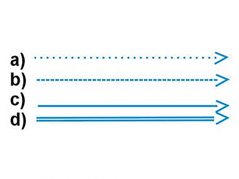
On a navigational chart, how is the probable direction of the predominant direction of sea surface current indicated?
Why should the largest scale chart available be used for navigational purposes?
When must a passage plan be prepared?
What does this figure indicate on a navigation chart?

You are on watch at night and you stop the main engines. What changes would you make to your navigational lights?
The direction towards which a tidal stream runs is called _____
How often are chart corrections published?
Review Answers