Terrestrial, Coastal Navigation. Test 4
Terrestrial, Coastal Navigation. Test 4
Who publishes the chart catalogue?
What charts are used for coasting, pilotage waters and plotting waypoints?
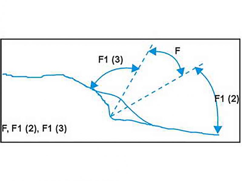
On a navigational chart, what does this figure indicate?

When selecting the maximum distance at which a landfall light would be visible, which of the following should be selected?
Under soundings marked on the chart, the nature of the sea bottom is also indicated. What does Sh indicate?
Which is the more accurate means of position fixing?
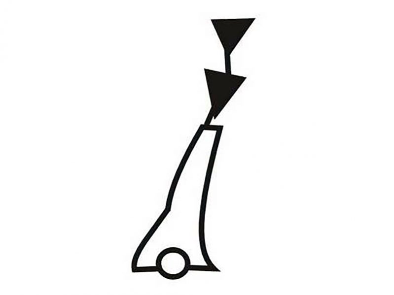
On which side of this buoy should you pass?

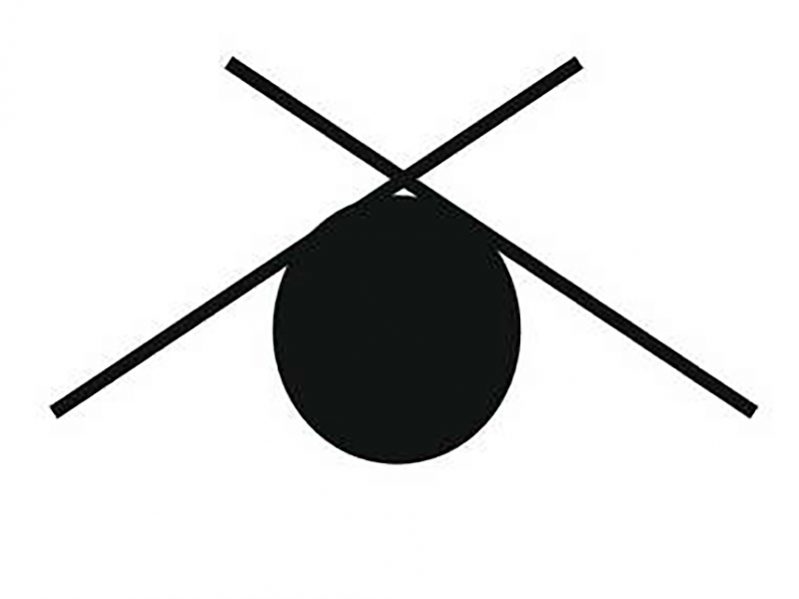
On a navigational chart, what does this figure indicate?

When using great circle sailing the saving in distance is the most when _____
A vessel is under pilotage approaching a European port. Who is responsible for the safe navigation of the vessel?
Review Answers


